
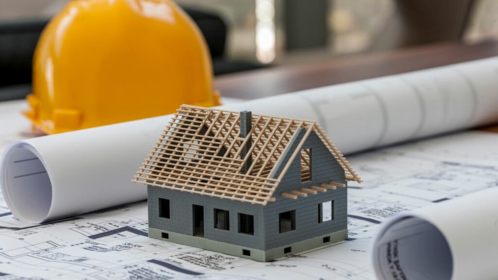
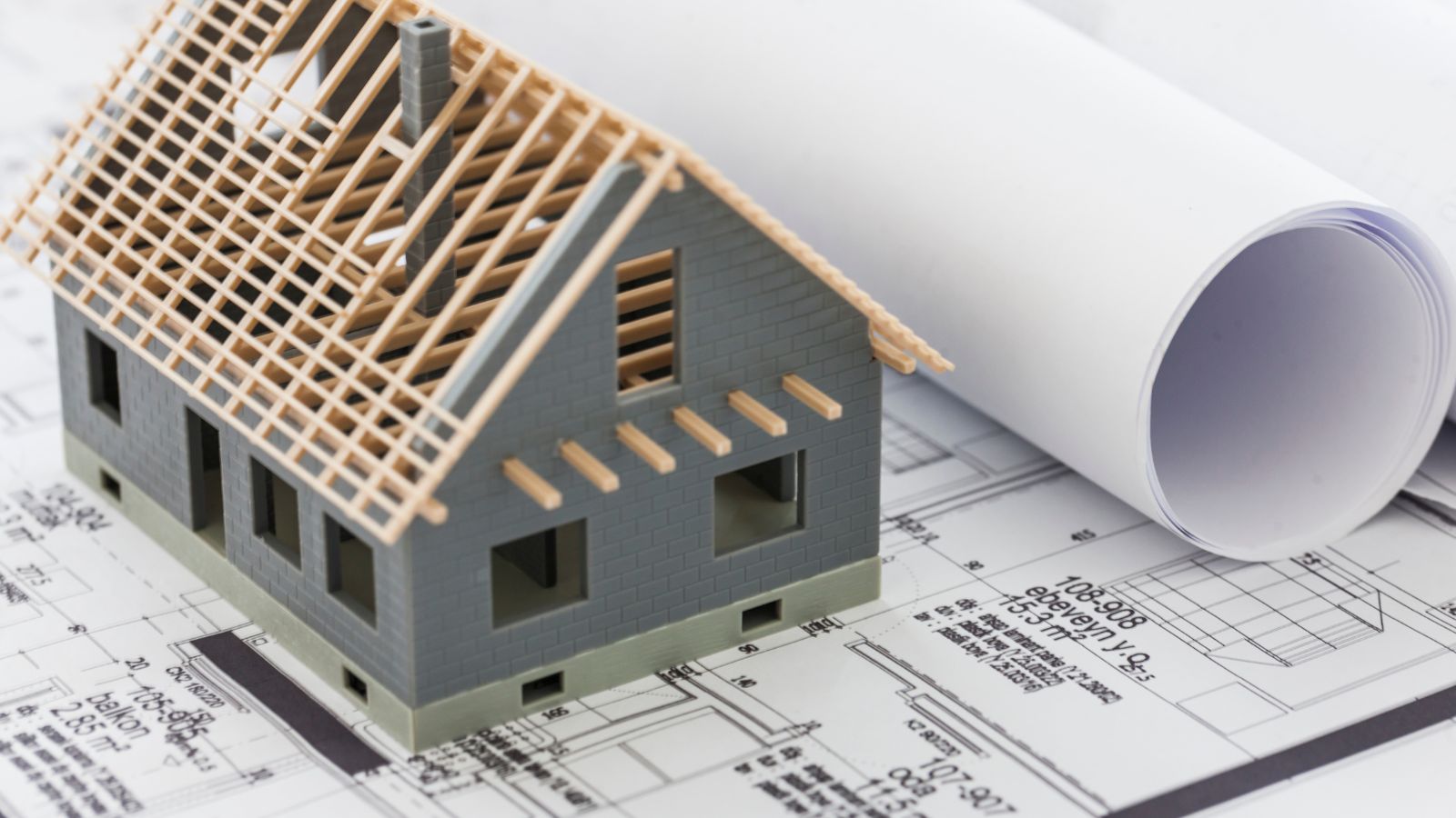
Designing a house—whether it’s a brand-new build, a major renovation, or a modest extension—relies heavily on one crucial factor: accurate information about what already exists. Traditionally, this meant a 2D measured survey, with floor plans, elevations, and a few cross-sections. While useful, those drawings often left gaps in understanding. That’s where 3D surveys are changing the game.
A 3D survey creates a highly accurate, digital three-dimensional representation of a building and its surroundings. It serves as a precise starting point for architects, engineers, and homeowners, allowing designs to be integrated into the real-world context with confidence.
What Is a 3D Survey?
A 3D survey is a method of capturing the exact geometry and dimensions of a property in three dimensions. The result is usually a point cloud—a dense set of measured points in space—which can then be converted into a usable 3D model in CAD or BIM software.
Instead of flat drawings, you have a virtual replica of the building: every wall, beam, slope, and opening recorded exactly as it is. This allows design professionals to “walk through” the property digitally, take measurements at any point, and test ideas in a true-to-scale environment.
How a 3D Survey Is Conducted
The technology behind a 3D survey is advanced but surprisingly fast in execution.
- Laser Scanning (LiDAR)
A laser scanner emits millions of light pulses per second, measuring the time it takes for each beam to return. These measurements create a point cloud with millimeter-level accuracy. The scanner can be placed in multiple positions to capture the entire property.
- Photogrammetry
In some cases, high-resolution photographs are used to reconstruct 3D surfaces. This technique works well for exterior surveys, historic facades, and situations where detailed textures matter.
- Drone Surveys
For large plots, high roofs, or hard-to-reach areas, drones capture aerial data, which is merged into the overall 3D model.
- Total Station & GPS Integration
For georeferencing—linking the building model to a specific location in the real world—surveyors may combine laser scanning with GPS or total station measurements.
The raw scan data is processed into a coherent point cloud, cleaned of noise, and then modeled into a 3D CAD or BIM file that architects can use immediately.
Why 3D Surveys Are Valuable in House Design
1. Unmatched Accuracy
Conventional tape-measure surveys can introduce errors, especially in irregular or older buildings where walls aren’t perfectly square. A 3D survey captures exact geometries, reducing the risk of costly mistakes during construction.
2. Better Communication with Clients
Many homeowners struggle to interpret 2D plans. A 3D model allows them to visualize changes, see how new extensions integrate, and explore different design options interactively.
3. Seamless Integration into BIM
Building Information Modeling (BIM) thrives on accurate starting data. A precise 3D survey can be the foundation for a digital twin of the house, enabling energy simulations, structural analysis, and coordination between trades.
4. Time and Cost Efficiency
Although a 3D survey can cost more than a basic measured survey upfront, it can save far more by preventing rework, reducing site visits, and accelerating the design phase.
5. Perfect for Renovations and Heritage Work
Older or historically significant buildings often have complex features and irregularities that are hard to capture in 2D. A 3D survey records every beam, cornice, and curve, providing invaluable reference for sensitive restorations.
From 3D Survey to Design
A typical workflow might look like this:
- Site Visit & Scan
The surveyor visits the property with laser scanning equipment. Multiple scan positions are recorded to ensure full coverage.
- Data Processing
All scan data is merged into a single, unified point cloud. This step includes aligning different scans, removing unwanted objects (people, moving cars), and checking for gaps.
- Modeling
The point cloud is imported into software such as AutoCAD, Revit, ArchiCAD, or SketchUp. Surveyors or architects trace over the cloud to create clean, editable 3D geometry.
- Design Integration
The existing 3D model becomes the foundation for the new design. Proposed walls, extensions, and features are added to the model, enabling precise clash detection and visual analysis.
- Presentation & Approval
Renderings, walkthroughs, and even VR experiences can be generated from the 3D model, making it far easier for clients and planning authorities to approve designs.
Case Study: Extension Without Guesswork
Consider a homeowner planning a rear kitchen extension. A traditional survey might provide floor dimensions and some height levels, but it won’t account for subtle wall bowing, a sloping garden, or roof overhangs. During construction, these “surprises” can lead to redesigns and extra costs.
With a 3D survey:
- The slope of the garden is accurately captured, so the new foundation depth can be planned in advance.
- The roof overhang on the existing structure is recorded, ensuring new walls align perfectly.
- Window placements can be optimized for natural light because surrounding trees and fences are included in the model.
The result? A smoother build process, fewer on-site adjustments, and a finished extension that fits seamlessly with the existing house.
Challenges and Considerations
While the benefits are strong, there are practical factors to keep in mind:
- Cost – Depending on the property size and complexity, 3D surveys typically cost more than 2D measured surveys. However, they often pay for themselves through reduced construction errors.
- Data Size – Point clouds are large files, sometimes dozens of gigabytes. Proper hardware and software are required to handle them efficiently.
- Specialist Skills – Creating an accurate 3D model from a survey requires both technical skill and industry knowledge. It’s best to use experienced surveyors who understand architectural workflows. For example, homeowners looking for a 3D survey Sydney service should ensure the provider has proven experience with residential projects and can deliver models compatible with their architect’s software.
The Future of 3D Surveys in House Design
3D surveys are becoming increasingly accessible. Smaller, more affordable scanners, smartphone-based LiDAR, and improved processing software are making it easier for even small firms to adopt this technology.
In the near future, it’s likely that:
- Every significant building project will begin with a 3D scan.
- Homeowners will be able to “walk through” their existing home and proposed designs in VR before construction starts.
- AI tools will automatically analyze survey data to suggest design optimizations, detect structural issues, or calculate energy performance.
A 3D survey in house design is more than just a high-tech replacement for traditional measuring—it’s a foundation for accuracy, collaboration, and creativity. By starting with a precise digital replica of the existing property, architects can design with confidence, clients can understand proposals more easily, and builders can execute projects with fewer errors.
In an industry where small mistakes can lead to big costs, investing in a 3D survey is one of the smartest moves a homeowner or design professional can make. Whether you’re building from scratch, adding an extension, or restoring a heritage property, a 3D survey ensures your design starts on the right foot—down to the last millimeter.